
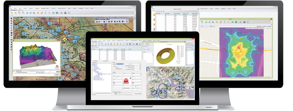
Rigel Workstation Military is ECRI’s advanced intelligence analysis solution customized for military applications.
Rigel Workstation Military builds on the functionality found in Rigel Workstation. It includes advanced features such as incident linkage analysis, risk forecasting, and customized algorithm parameters. It also includes support for military coordinate systems such as MGRS, standard military incident and location types and symbology, and military report and presentation templates.
Licensing Options
Standalone
![]() The standalone license provides a single copy of the software and license key to be installed on one PC for one user.
The standalone license provides a single copy of the software and license key to be installed on one PC for one user.
Network
![]() The network version is composed of a Network Master License and one or more Concurrent User Licenses. Concurrent User Licenses are managed by the central license server on the network. Using the Network License model, Rigel can be installed on as many systems as you want within your network, but can only be used simultaneously by the total number of Concurrent User Licenses you own.
The network version is composed of a Network Master License and one or more Concurrent User Licenses. Concurrent User Licenses are managed by the central license server on the network. Using the Network License model, Rigel can be installed on as many systems as you want within your network, but can only be used simultaneously by the total number of Concurrent User Licenses you own.
GIS Support
| ESRI ArcGIS 9.2 or later | |
| Microsoft MapPoint 2002 or later | |
| Pitney Bowes MapInfo Professional 8.5 or later | |
| Google Maps (requires internet connection) |
Training
Rigel Workstation Military is intended for use by experienced intelligence analysts and geomatics analysts who have advanced training on complex analysis techniques.
Military Analysts using Rigel Workstation Military should complete the specialized military version of the standard Geographic Profiling Analyst (GPA) course. Please see the training page for more information on GPA training.
Applications
Please Contact ECRI for more information about military and counter-terrorism applications.

